Kyushu Olle
An Autumn Hike on the Okubungo Course
Walking from Geopark to Castle Town
Little did I know, when I first learned to play the classic Japanese song “Kojo no Tsuki” (Moon Over Ruined Castle) on the bamboo flute, that it would be the theme song to a 12-kilometer walk through the cultural and geological history of Okubungo. Not only because the course itinerary involves castle ruins, bamboo forests, musical interludes, and potential moon-viewing, but because it also evokes a profound nostalgia for volcanic eruptions, giant buddhas, and Kyushu’s autumn leaves.
The Okubungo course is one of the first and most popular and historically significant of Kyushu Olle’s walking trails, modeled after the Jeju Olle trekking courses of the neighboring Korean island. The concept is to engage the senses by encouraging people to interact with the physical environment and (re)discover a specific area of Kyushu on foot.
Okubungo is also a model course: you can walk it at a leisurely pace in about half a day (four to five hours), it has little variation in altitude (less than 100 meters), it begins and ends at a train station (Asaji to Bungo-Taketa), and most enticingly, it concludes with a hot bath at the local onsen (Hanamizuki).
I alight at Asaji station, where I meet Nagayoshi Toshimitsu, creator and manager of the Okubungo course, along with Alex Fukada, co-founder of Joy Village, both passionate promoters of rural tourism in Bungo-Ono.
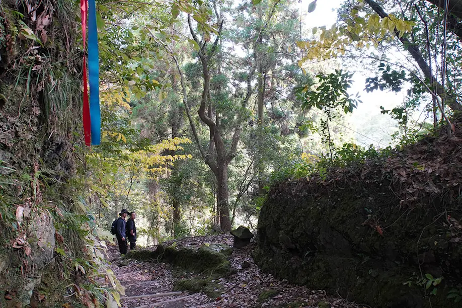
As we set off together on the trail, Nagayoshi-san points out the brightly painted metal arrows and hanging ribbons that serve as Olle indicators: blue pointing toward the goal in Taketa; red pointing back toward Asaji station. The idea, he says, is that you can walk freely through the natural landscape while the signs guide you along a predefined path so that you don’t get lost.
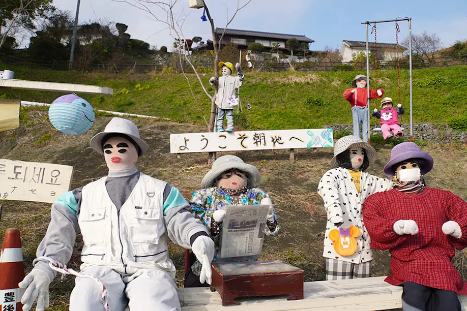
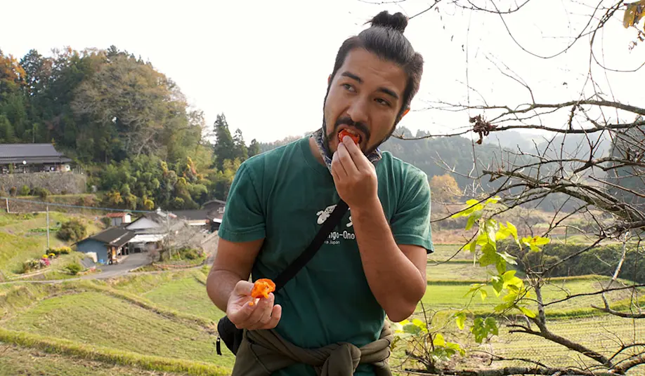
The route begins in a rural area with neatly tended farmlands, below a hillside covered in pale purple blossoms of Japanese bindweed. The first landmark we pass is an ensemble scene of life-size dolls welcoming visitors to Asaji—with signs in both Japanese and Korean. Alex picks a ripe persimmon from a roadside tree and bites into its juicy flesh.
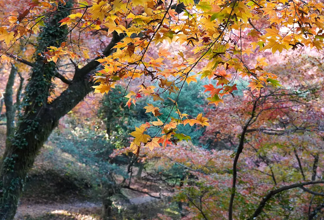
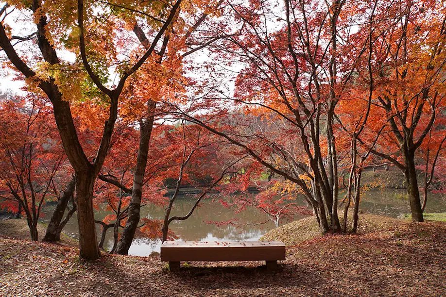
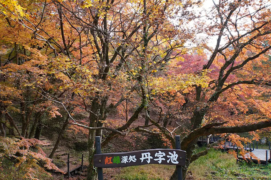
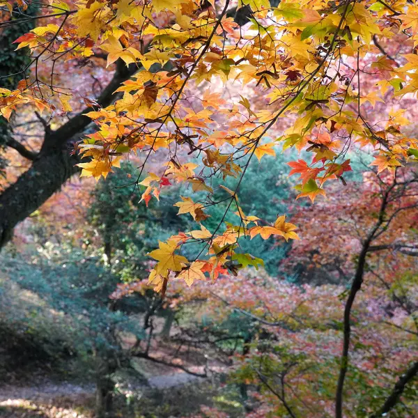
It’s not long before we find ourselves beckoned by red leaves spilling out over stone walls. Our first official sightseeing spot is Yujaku Park, which for the past century has been known as the famous “red-green deep place” inundated in a flaming palette of maple leaves every autumn. Yujaku was originally a villa given to the chief retainer of the Nakagawa clan, which ruled over the expansive Oka domain during the Edo period.
Since the Meiji period, the villa has been transformed into a public garden frequented by calligraphers, poets, musicians, and anyone out for a Sunday stroll. From the shallow end of the main Shinji Pond, Nagayoshi-san picks out a souvenir hishinomi (water caltrop), whose hard bat-shaped nut can be blown like a whistle.
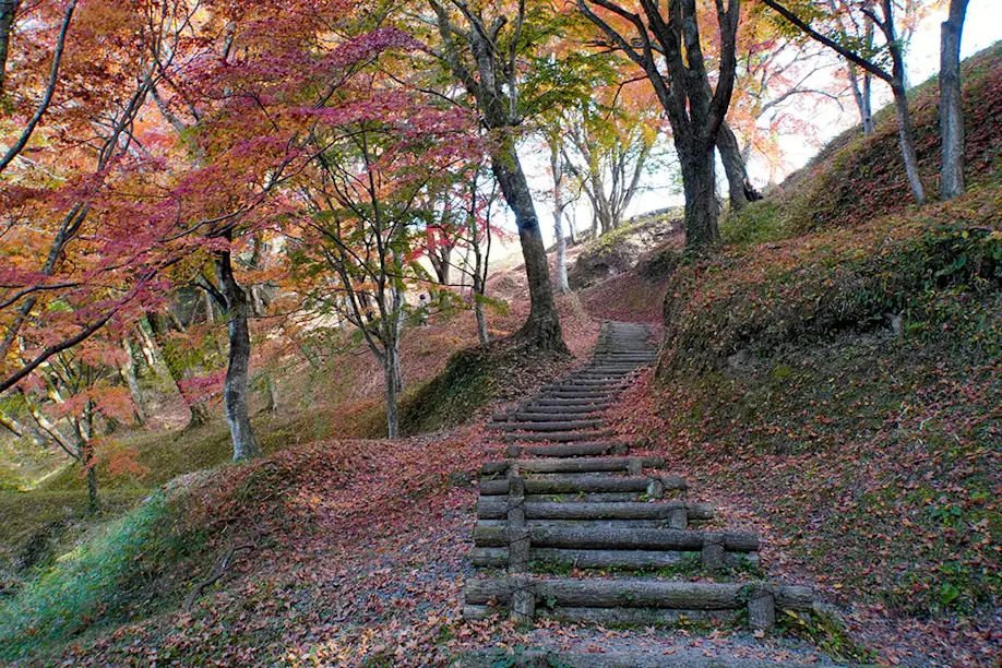
As we make our way into the forest, we spot an empty cage with a boobytrapped door used to catch wild boar. Further along the path, Alex points out logs of kunugi (sawtooth oak) trees precisely arranged and nurtured with bacteria to cultivate shiitake mushrooms, a regional delicacy that takes two to three years to mature. This forest is also a natural habitat for kabutomushi (rhinoceros beetles), which are popular as pets in Japan.
At the top of a hill in a rural residential area, a row of upright stones channels good energy, watching over the area. It’s here that we stop for lunch. We receive the lunch box that we reserved earlier that morning at the Asaji Station Tourist Information Center from Magaibutsu Chaya Restaurant. So far, we have walked one-third of the course.
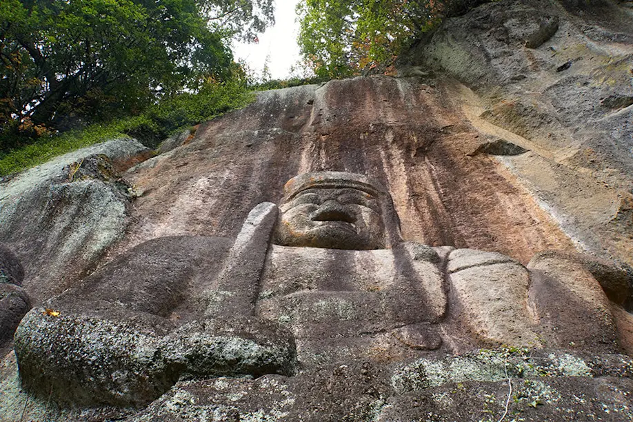
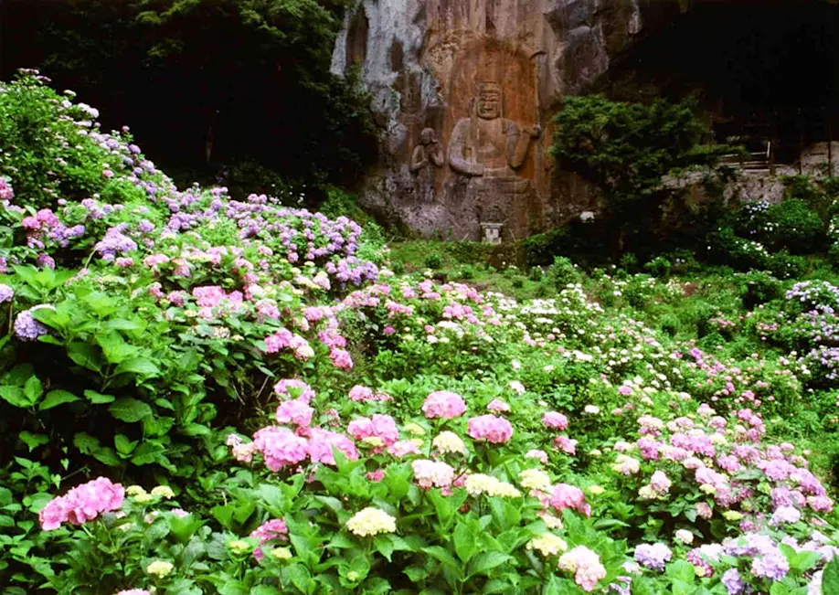
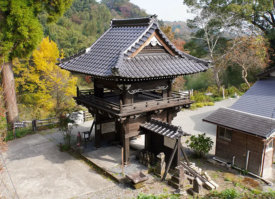
We approach Fuko-ji temple from above, ringing a hidden bell before passing through its wooden tower gate. Then we turn around to face the cliffside. This is my first encounter with a magaibutsu (a Buddha figure carved into a rock face), and at 12 meters high, it’s one of the biggest in Japan. Immediately striking to me is the sheer scale of the giant figures in relation to the human-sized steps, platform, and caves beside them on the cliffside.
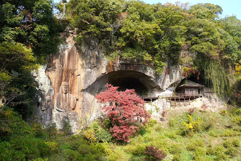
The present-day Bungo-Ono region is situated east of Mt. Aso, one of the largest active volcanoes in the world. Some 120,000 years ago, Mt. Aso’s third major eruption caused a pyroclastic flow that streaked eastward all the way to the coastline, eventually cooling and consolidating into ignimbrite.
Some 800 years ago, Fuko-ji temple was built during Japan’s Kamakura period, and these figures were carved into the soft ashy stone. Looking closely, I can clearly see the porous layers of sediment under the yellow lichen. The large central figure holding a sword, sitting between his acolytes Seitara-doji and Kongara-doji, represents the “angry buddha” Fudo-myoo, although his irate facial expression has since eroded over the centuries into a gentle frown.
A stone staircase carved into the cliff leads up to a resonant cave, which extends out to a wooden platform used as a stage for musical concerts. Down below, the garden is covered in autumn hues of vegetation and evergreens—but is particularly well-known for its violet blooming hydrangeas in June.
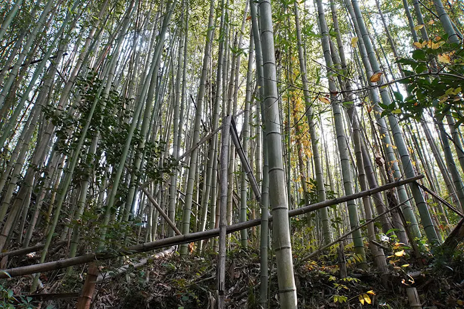
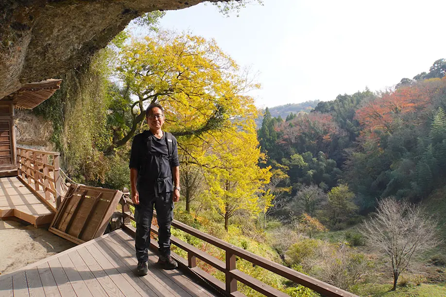
We resume our walk on a quiet path through a tall bamboo forest carpeted in dry leaves, passing another boar trap in the bush. We emerge from the thicket to find a large stack of pine-scented logs freshly timbered for the local forestry industry. Just a few steps further, we cross the invisible border between Bungo-Ono and Taketa.
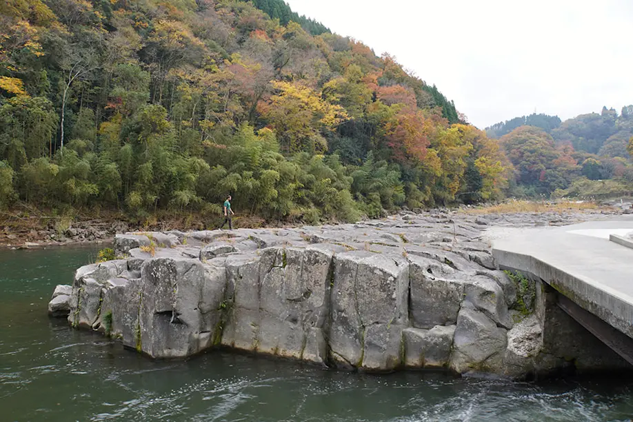
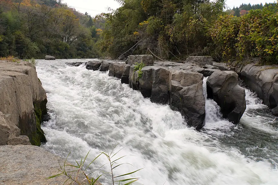
Some 90,000 years ago, Mt. Aso erupted again. The fourth pyroclastic flow was even more explosive than the third, consuming all of present-day Taketa and extending to the coasts. When the hot lava and pumice collided with the Sogawa river, it solidified as angular chunks of igneous rock. Today, the columnar joints that resulted from this geological phenomenon create a spectacular landscape, complete with the sound of river water rushing through them. Around the bend is the municipal hydroelectric power plant.
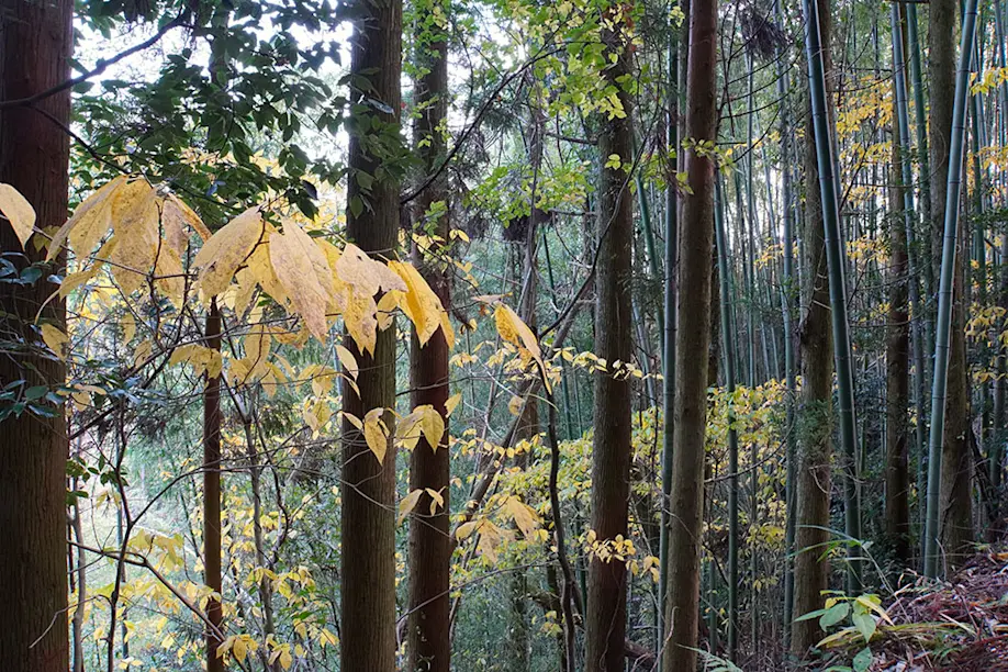
The further west we go into Taketa, the more stone walls we see, built from the Aso-4 ignimbrite of the massive fourth eruption. Alex says that there are 153 stone bridges in Bungo-Ono.
After walking past more bamboo forests, long stone walls, and fiery maple trees, we finally reach the famous ruins of Oka Castle—and enter through the back door. We are now standing on a plateau 325 meters above sea level that surveys a panoramic landscape of autumn pine forests and distant mountain ranges. The present ruins were originally the stone walls of a fortress built in 1185, which was later expanded and refined into Oka castle, ruled by the Nakagawa clan until the end of the Edo period.
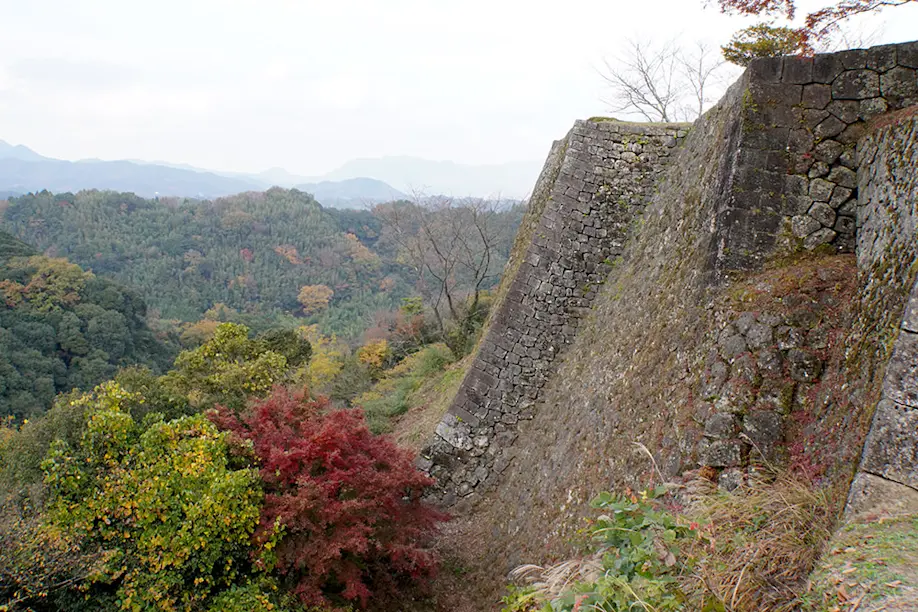
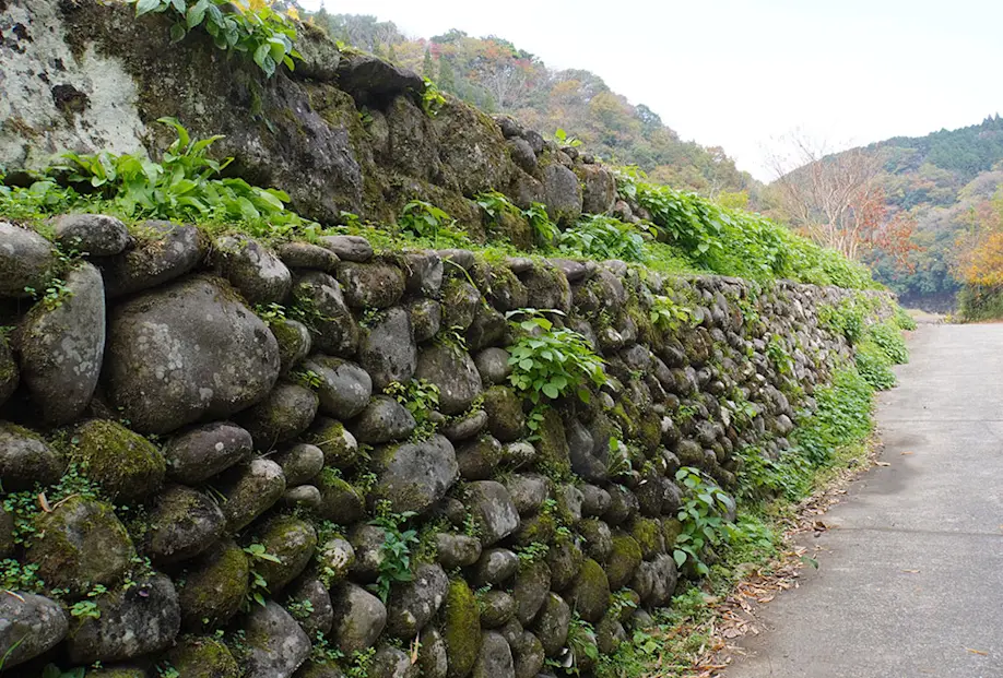
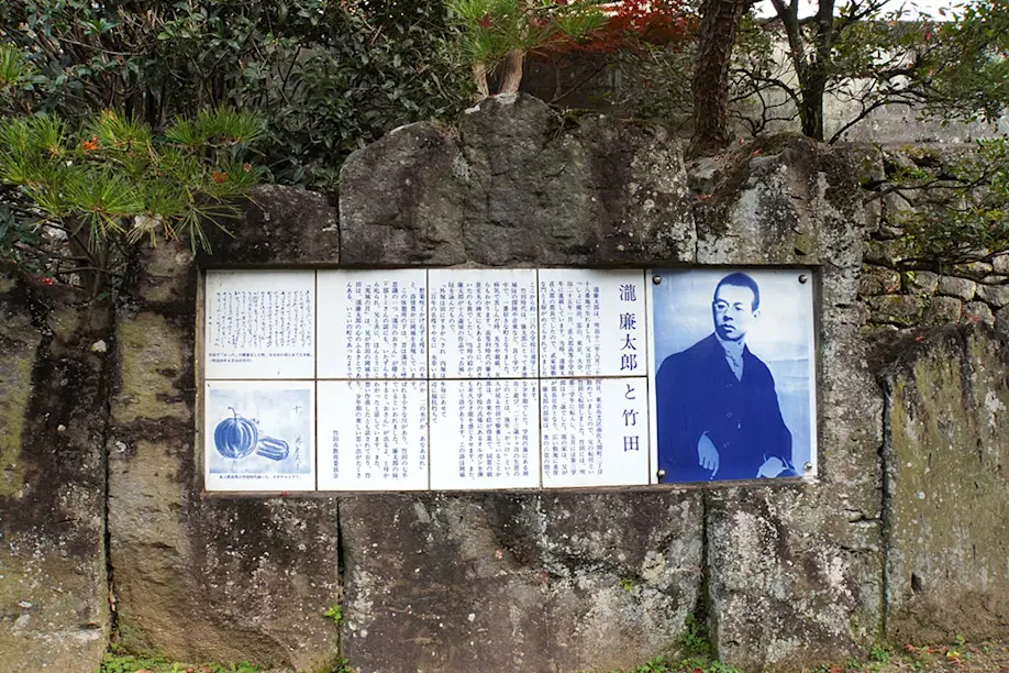
On the northwest end of the castle grounds is a statue of Taki Rentaro (1879–1903), the young composer of “Kojo no Tsuki,” sculpted by his former Taketa high school classmate. So it seems that these enduring Oka Castle Ruins were the original inspiration for Japan’s timeless song. From here, on a clear day, you can see the Kuju Mountains to the north and the Aso Caldera to the west.
The southern rim of the ancient fortress overlooks Route 502, which snakes along the Oka plateau and the Ono River.
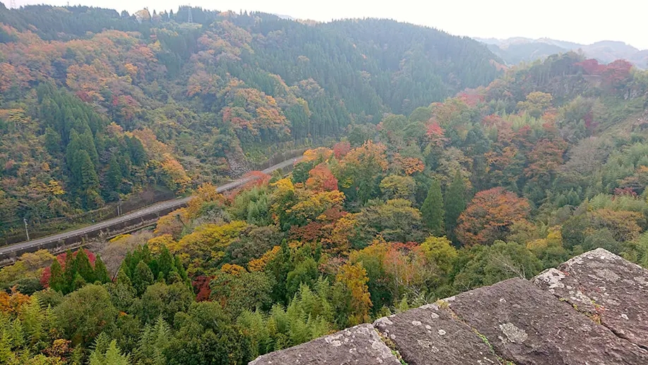
“Now,” says Alex. “Can you hear it?”
My ears distinguish the faint sound of an all-too-familiar melody. But where is it coming from?
Alex explains that whenever a vehicle passes over a certain stretch of the road, it triggers the musical notes of “Kojo no Tsuki.” This song is everywhere.
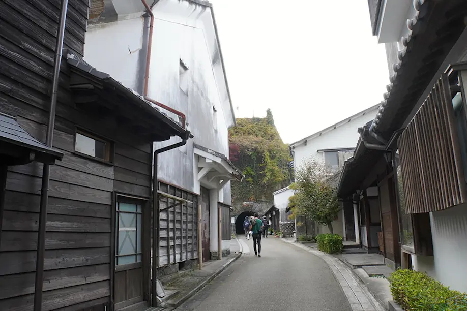
The last leg of our journey is a gentle downhill stroll through Taketa Castle Town, which still maintains the white walls of its Edo-period shops and samurai residences. Every November, the Chikuraku festival lights up the center with bamboo lanterns celebrating the woody grass that gave the city its name.
The Taki Rentaro Museum commemorates the composer’s childhood home, and this time it’s the pedestrian Taki Rentaro Tunnel that plays the Okubungo theme song. The historical Tajimaya sweets shop and tea house, founded in 1804 with an original Meiji-era tile façade, has also named its tasty flagship fluffy white yellow-bean cakes Kojonotsuki.
Once we cross the bridge over the Inaba River to Bungo-Taketa station, it’s only a few more steps away to our final destination: Taketa Onsen Hanamizuki. This is where the moon comes in. After walking across a geopark of ancient ignimbrite and columnar joints, passing volcanic cliff carvings, dense bamboo groves, and flamboyant maple trees, culminating in the historical and cultural remnants of the region’s most powerful feudal clan, it couldn’t feel better to enjoy a long soak in a hot bath.
Yujaku Park
Fuko-ji Temple
Nagayoshi Toshimitsu
Taketa Bamboo
Stone Walls
Taki Rentaro
Cherise Fong
Originally from San Francisco, I arrived in Tokyo with my bike and my backpack one rainy day in summer. Since then, I travel through the archipelago by bicycle, train and boat, often to the rhythm of taiko and shinobue, always looking for new paths and unique perspectives.
 Hiking Matsushima Olle: Course to Explore the Nature and Intriguing History of Amakusa Island
 Mount Aso: Nature at Its Most Majestic
 Yakushima: Trekking through Japan’s thousands-year-old forest
 Kikuchi District - The Great Outdoors of Kyushu
 To Hell and Back: Walk Through the Steamy Hot Springs of Unzen
 Hiking in Ebino Highlands: Explore the Crater Lakes in the Company of Friendly Deer
 Kyushu Olle: An Autumn Hike on the Okubungo Course
 Driving Around Fukue Island: Hidden Churches and Stunning Beaches
 Hiking Trails at Aso Kusasenri
 Cape Toi in Miyazaki: A Festival of Colors


