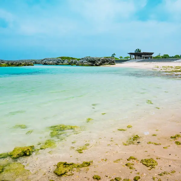
Kuju Mountains
Explore Kyushu’s Volcanic Mountain Range
Hiking through a Living Palette
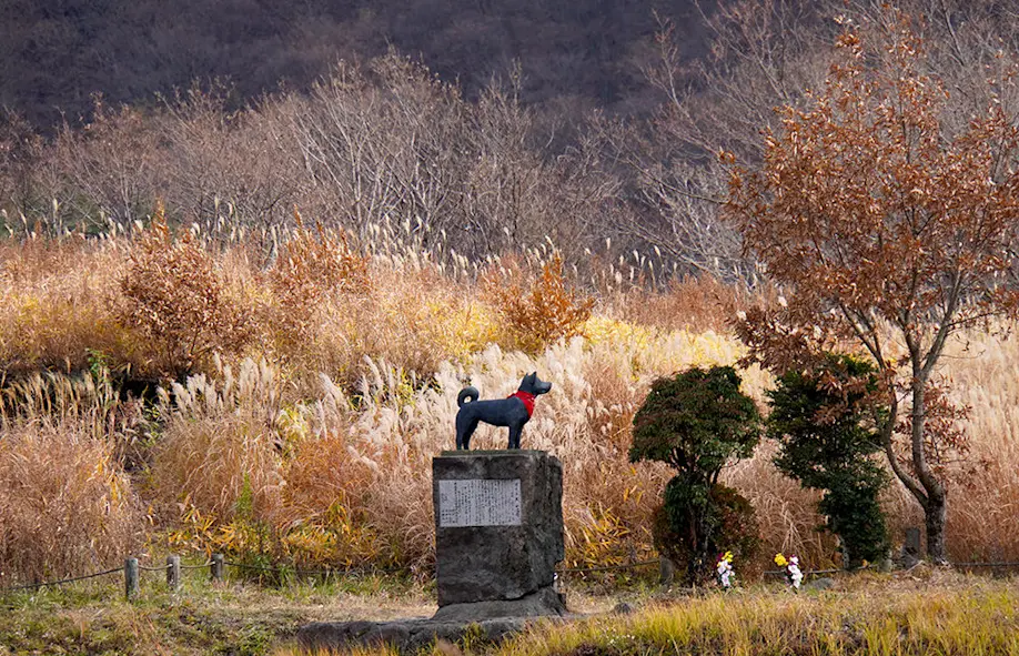
If I had come to the Kuju Mountains some 40 years earlier, I might have met Heiji. She might have accompanied me on the trails, setting the pace until we stopped for lunch. Or she might have led the way up to the nearest peak, where we would enjoy the view from the top. And just in case I got lost or injured, she might have famously appeared out of nowhere to support and guide me back down to safety in Chojabaru. Heiji was never born to be an official search-and-rescue dog; everything she did was of her own initiative. The well-known Akita was a lovingly adopted stray, an altruistic guide, and a free spirit who spent her entire life roaming and patrolling the Kuju Mountains.
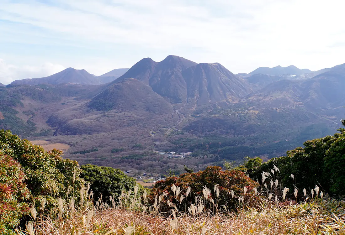
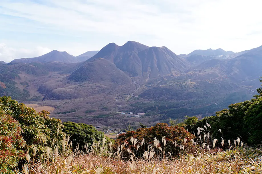
Heiji may have passed away in 1988, but I am all the more inspired to explore this volcanic mountain range that she called home. With several peaks at more than 1,700 meters above sea level, the Kuju Mountains are nicknamed the “Roof of Kyushu,” situated a buzzard’s flight away from the massive Aso Caldera, all within the Aso-Kuju National Park straddling Kumamoto and Oita prefectures.
I stand at the Makinoto trailhead, craning my neck to survey the daunting mountainscape to the east. My human guide Katayama-san points west: “Let’s go that way.”
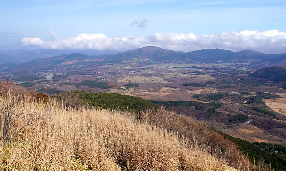
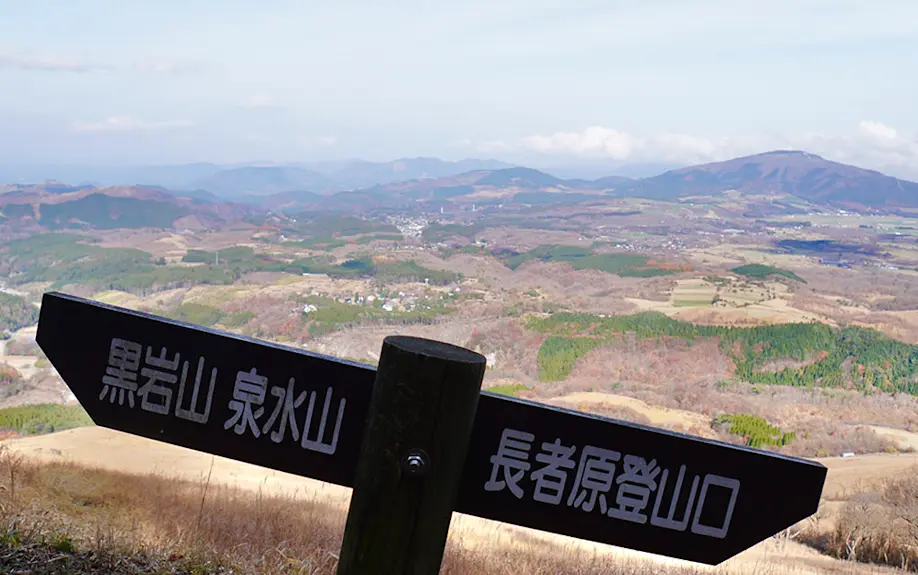
Across the road, a barely defined trail leads into dry grasslands toward a dark hill on the horizon. This is the way to Mt. Kuroiwa (“Black Rock”), a peak made of black volcanic rock that offers a privileged view of the entire rooftop ridge, as well as everything around it. It’s certainly off the beaten paths to the highest Kuju peaks, just about deserted in late autumn, and a relatively accessible yet solid hike across the ridge to Mt. Sensui and down to Chojabaru. I’m game.
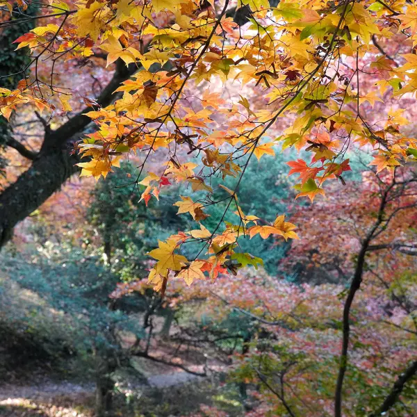
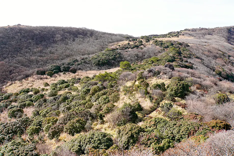
Walking through the tall pampas grass, the first thing I notice are the bright yellows, burnt reds, and evergreens of an autumn-winter palette. Vivid hues of lichen speckle the rocks, while the surrounding landscape is textured in deep browns of keyaki (zelkova) forests, with occasional streaks of orange karamatsu (larch) conifers, both native to Japan.

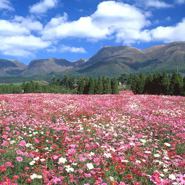
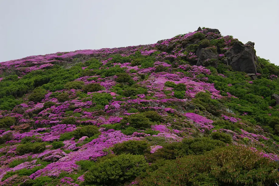
The Kuju mountain range was formed by a volcanic eruption some 130,000 years ago. The pyroclastic sediment in the soil, along with volcanic gases present in the air, have engendered unique species of flora that grow exclusively in the high mountains of Kyushu. The most famous among them is the Miyama Kirishima (Kyushu azalea or Rhododendron kiusianum), which attracts many dedicated hikers every year from May to June when large tufts of blushing blossoms transform the mountainsides into vibrant pink-and-green carpets.
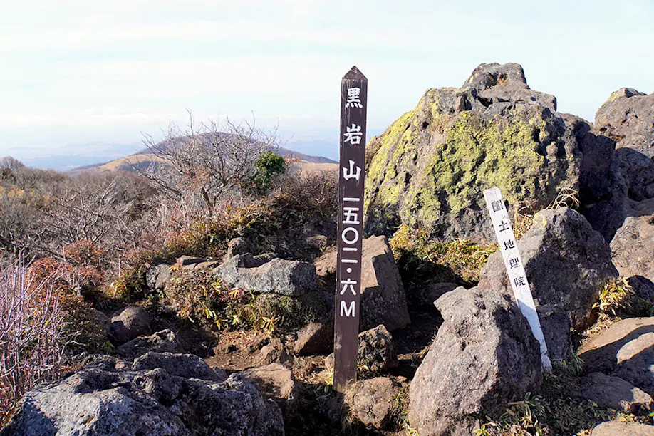
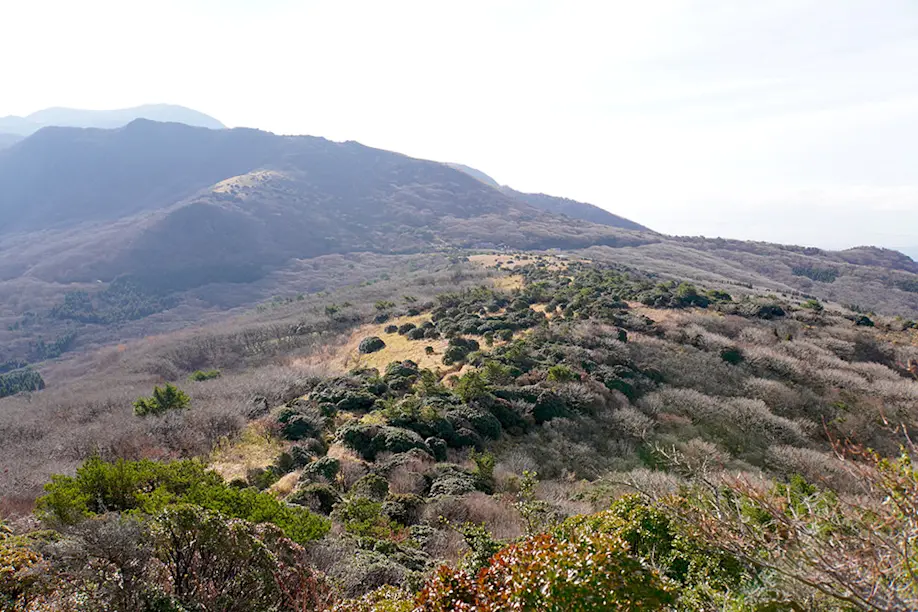
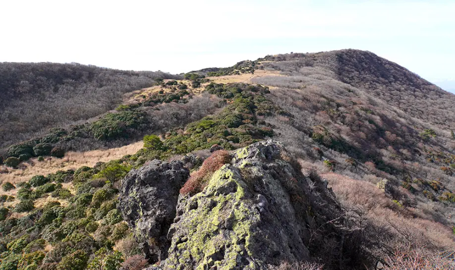
The path soon narrows to a steep climb over thick roots, but before we know it, we emerge atop Mt. Kuroiwa at 1,502.6 meters above sea level. Strong winds blow through my hair as I stop to catch my breath. We seem to be the only humans on the peak, and the sprawling topography of the ancient volcanic landscape rises at our feet.
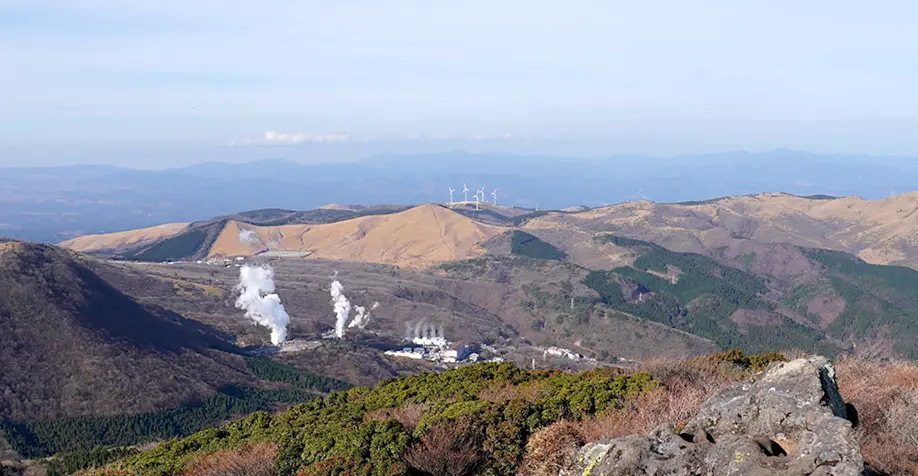
Looking west, I see a handful of wind turbines on the hills behind the Hachobaru Geothermal Power Plant, which adopts a sustainable approach to power generation using the natural energy sources of the earth’s internal heat and wind. As Japan’s largest geothermal power station, it provides clean electricity for some 20,000 households in Aso. I’m fascinated by the geological sight of billowy white steam wells extracted from underground water heated by magma trapped in the bedrock.
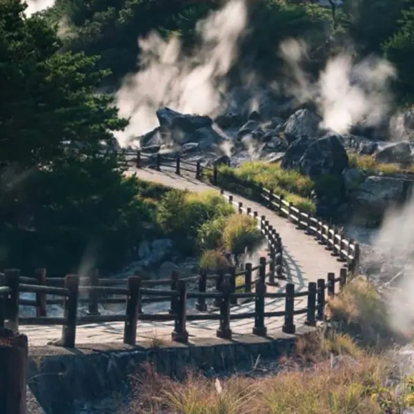
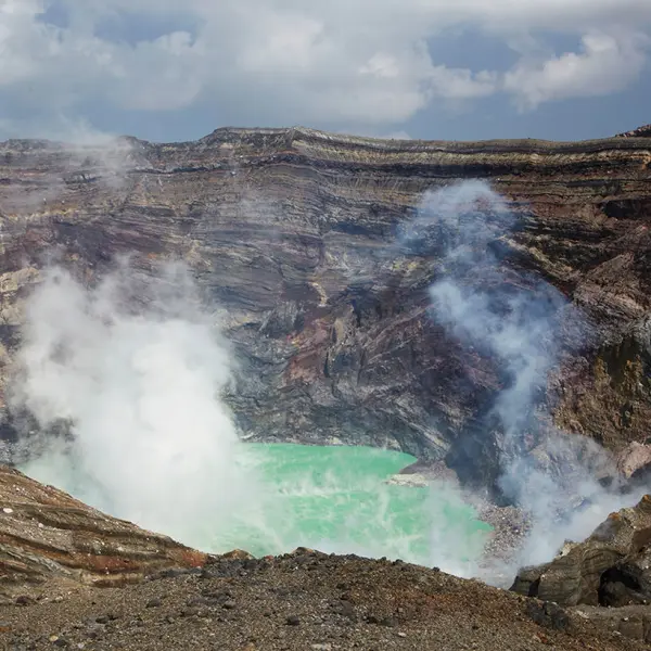
But even more mesmerizing is the fuming solfatara on Mt. Io to the east. While I could see the smoky white sulfur gases emitting from the nearby peak soon after we began our ascent, the view of the fumarole itself becomes clearer as we move northward across the ridge. Depending on the wind, I occasionally catch a whiff of the sulfur’s distinctively metallic odor.
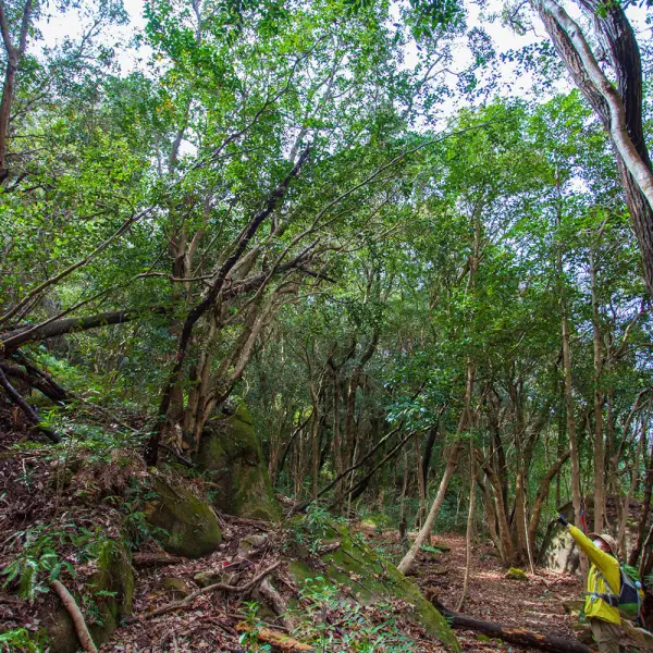
We continue to make our way toward upper Mt. Sensui through dense thickets of sasa bamboo and Japanese andromeda along a single file path cutting across the ridge, sometimes through waist-high grass as we duck around dry branches. At one point, we hear the lively chirps of black-and-white hakusekirei (wagtails), but the birds quickly flutter away into the bush.
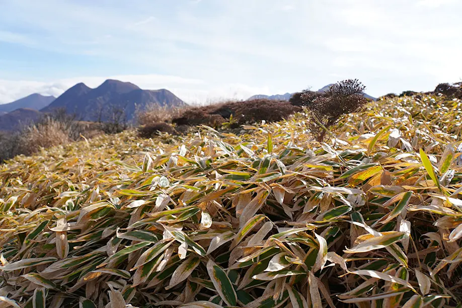
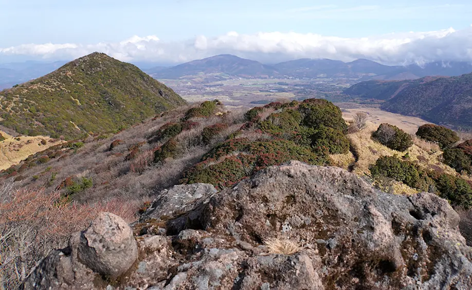
We climb up on top of a small volcanic rock formation, which from below, reminds me of a turtle peeking over the edge. To the east, Mt. Mimata glows in the foreground of the Kuju mountain range at 1745m, illuminated by the late morning sunshine. With each step forward, we are surrounded by a living, breathing palette of seasonal colors and botanical textures.
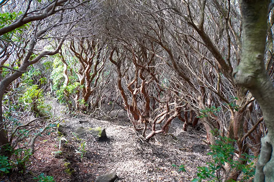
We even stoop to crawl our way through a tunnel of winter-bare andromeda, where the tilted ground sweeps us into yet another scene. Katayama-san points out patches of wood exposed by freshly stripped bark from deer sharpening their antlers on the narrow trunks. We spot a few animal droppings, which he says could be traces of itachi (weasel) or wild boar.
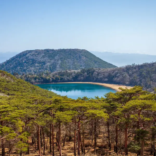
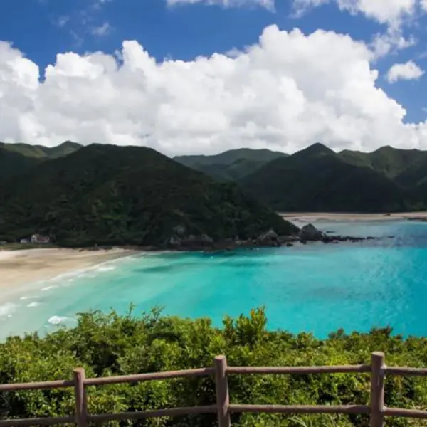
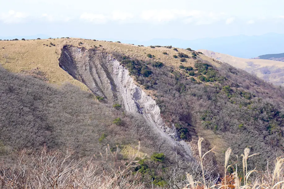
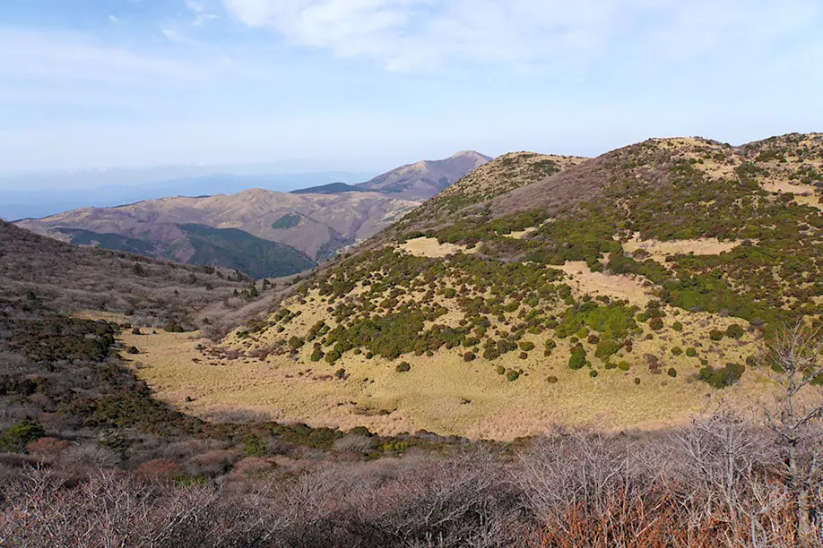
Once past the peak of upper Mt. Sensui at 1,447 meters, we have a clear view of the Tadewara Wetlands below, with wooden footbridges carving out winding walkways through the marsh. Behind us, a landslide has caved a giant sandy groove into a neighboring mount, dramatic evidence of harsh precipitation.
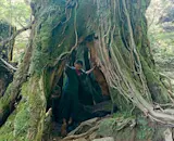
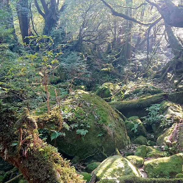
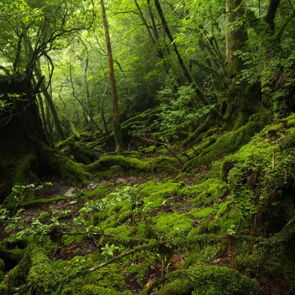
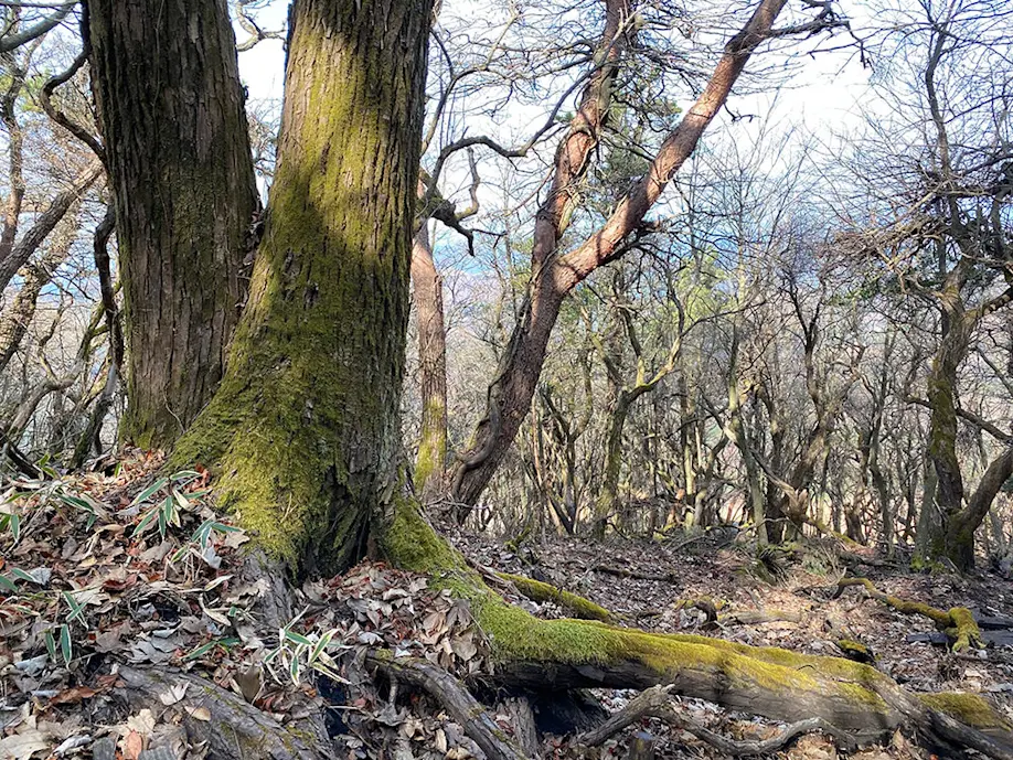
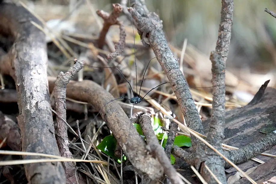
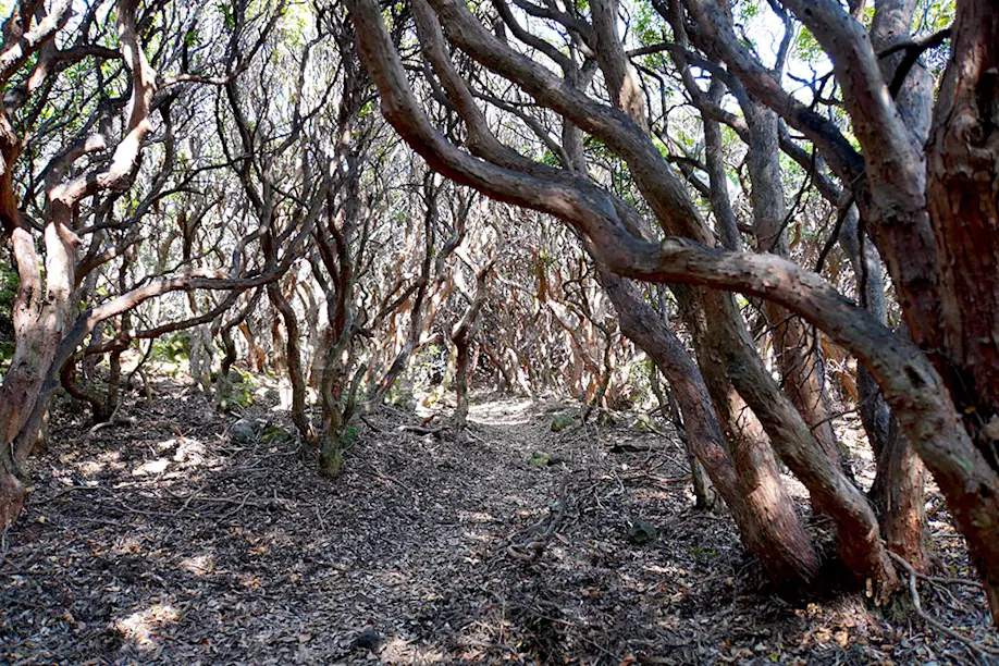
After passing the peak of lower Mt. Sensui at 1,296 meters, we begin a sharp descent through more sasa bamboo thickets into a twisting scenery of moss-covered trees and rocks, which is strangely reminiscent of Yakushima’s primeval forest. I even catch a glimpse of the now-familiar zatoumushi (harvestman)—and this time, the Ghibli-like arachnid pauses for a photograph.
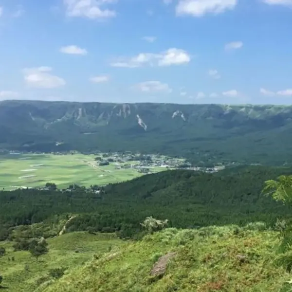
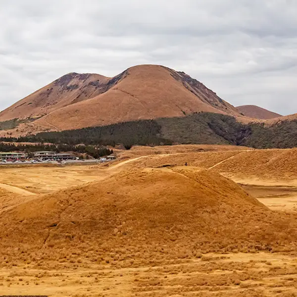
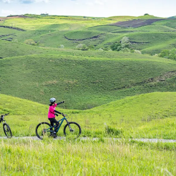
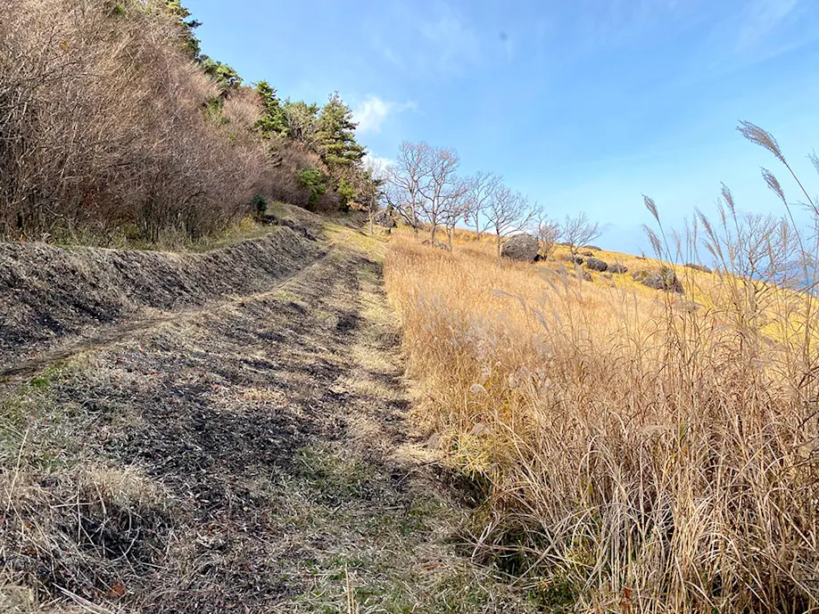
Suddenly, the forest opens into a sloped clearing, with a panoramic view of the Handa Plateau. Every spring for the past hundred years, the mountainside grasslands are maintained by controlled burning. This traditional practice of noyaki prevents the grasslands from turning into forests by favoring rejuvenation and grazing in order to ensure a diverse topography across the mountain range.
We follow the plunging firebreak all the way down and across the Okugo river to Chojabaru. Right across the road, we are happy to sit down for lunch on the second floor of Rest House Yamanami, where we enjoy seafood udon with tasty local shiitake mushrooms and chicken, wild vegetables, and shrimp tempura. It’s the perfect setting to relax and reflect on the hike as we gaze out at the parallel mountain ridge that we traversed that morning.
Walking toward the Kyushu Nature Trail that leads back to Makinoto, we pass the statue of Heiji, wearing a red bandana against a blazing backdrop of golden pampa grass. She still stands alert, looking up at the ever-changing Kuju Mountains.
Kuju Mountain Range
Solfatara

From Mt. Kuroiwa to Mt. Sensui
View from the ridge
Descending through the forest
Handa Plateau